This work is licensed under a Creative Commons Attribution-ShareAlike 4.0 International License

Agricultural Cropping Areas
Farming the land

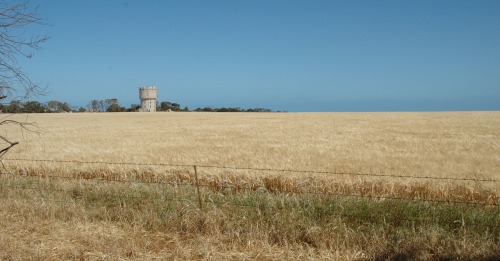
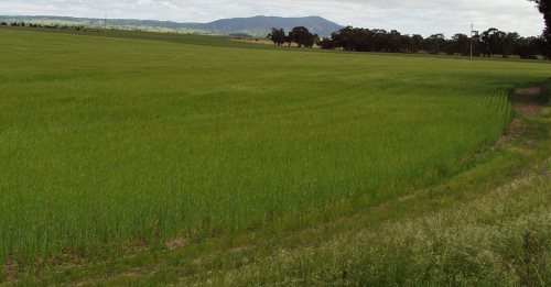
Agricultural Cropping areas in South Australia are characterised by the varying climatic zones. The dry northern part of the State restricts agricultural activity to sheep and beef grazing while dependable rainfall and the availability of water from irrigation allow intensive farming operations in the southern and south eastern areas. Significant cereal cropping activity occurs on the Eyre Peninsula but depends on receiving seasonal rainfalls.
Wheat is South Australia's largest crop. It is produced along a narrow crescent known as the wheat belt. The wheat belt stretches in a curve from central Queensland through New South Wales, Victoria and southern South Australia.
Other crops include cereals for grain such as Barley, Oats and Triticale and oilseeds, such as Canola. Crops cut for hay also make up a large percentage with lucerne amongst the largest produced.
The area in South Australia utilised for Agricultural Crops amounts to 4,175,000 Ha.
At 30 June 2002, 5% of Australia's agricultural land was under crops, with a further 5% under sown pastures and grasses. This maintains the trend which has seen about 10% of Australia's agricultural land under cultivation each year since the 1980s.
Until that time, the area of land cropped or sown to pastures and grasses had been expanding rapidly. This expansion was facilitated by factors including increased use of fertilisers, improved water supply and reduction in the rabbit population due to myxomatosis.

Text and statistics from Australian Bureau of Statistics Pictures by Ashley Hosking, CFS Promotions unit


